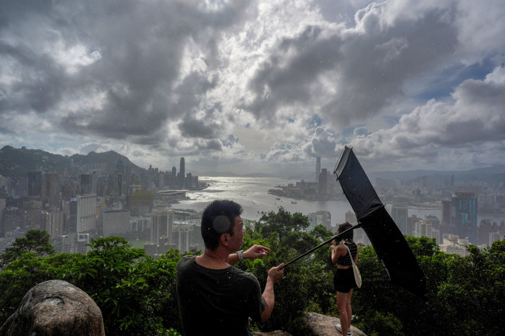
Hong Kong Observatory says T1 typhoon warning to stay in force until at least 6am on Sunday
- Squally showers and thunderstorms are also forecast for Sunday and Monday

The Hong Kong Observatory has said a No 1 typhoon warning will remain in force until at least 6am on Sunday, as a tropical cyclone is expected to intensify and bring occasional squally showers in the coming days.
The weather forecaster issued the signal at 10.40pm on Saturday.
The tropical depression was located about 690km (429 miles) south-southwest of the city as of 11pm.
“Winds offshore and on high ground in the vicinity of the Pearl River Estuary will pick up gradually later [on Sunday],” an Observatory spokesman said.
“The tropical depression will intensify and bring occasional squally showers to the coast of Guangdong in the next couple of days.”
The Observatory would assess the need to issue higher warning signals during the day on Sunday depending on changes in intensity, wind conditions and distance from the Pearl River Delta, he added.
As of Saturday night, the yet-to-be-named tropical depression was located in the central area of the South China Sea and was expected to move northwest at about 14km/h (8.7mph) across the central part of the South China Sea towards Hainan Island.