Advertisement
Advertisement
Coronavirus Hong Kong
Get more with myNEWS
A personalised news feed of stories that matter to you
Learn more
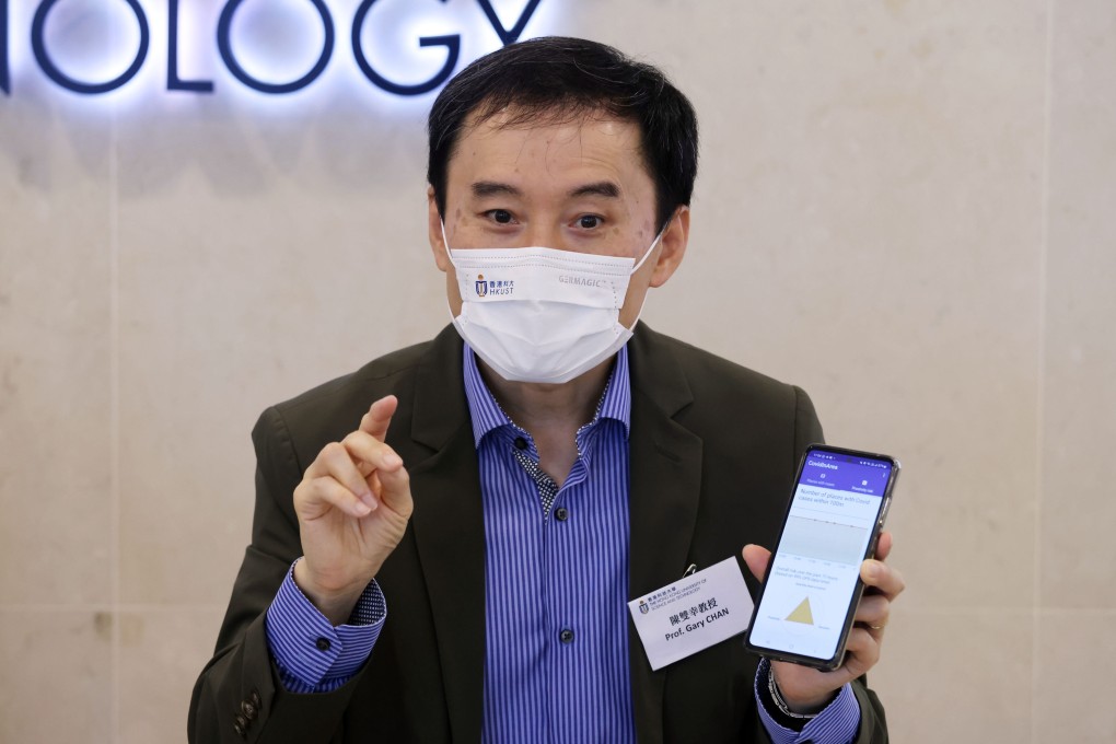
Professor Gary Sheung-han, of Hong Kong University of Science and Technology’s computer science and engineering department, explains a new hi-tech app designed to track exposure to the coronavirus using infection information. Photo: Jonathan Wong

Hong Kong research team creates hi-tech app designed to assess exposure to coronavirus

  • New smartphone app uses movements over past three days to work out coronavirus infection risk
  • Scientists say the app will help people get the latest information as anti-coronavirus restrictions ease.
Angel Woo

A new smartphone app created by a team of Hong Kong scientists will allow people to check their coronavirus infection risk with a hi-tech assessment based on their movements over the previous three days.

CovidInArea, designed by researchers at the Hong Kong University of Science and Technology (HKUST), features a map that shows places with coronavirus cases over the previous 14 days and calculates an individual’s infection risk using big data and GPS.

“The government also has a website which shows a map of buildings with confirmed cases, but it is not very mobile friendly,” Professor Gary Chan Shueng-han of HKUST’s department of computer science and engineering said. “So we designed this application for people to read the map on their phones more easily.

“Since Hong Kong has relaxed its measures recently, citizens should pay more attention while commuting. If they can get more information about infections, it will raise their awareness when fighting the virus.

Call for clear guidelines for Hong Kong students with amber Covid health code

The app generates a radar chart when it is opened and GPS is turned on. The chart works out the risk of infection based on the distance between the user and places with identified cases, the time they may have spent in hotspots and the number of places with infections around the user.

Red on the radar chart means the user is at high risk as they were in or around buildings with infections for a long period of time. An amber chart is medium risk and green a low risk.

App users’ phone will also vibrate if they are inside 100 metres of places with confirmed infections. They are also sent a chart that shows the number of places within 100 metres of anywhere they have visited over the past three days where there have been coronavirus cases detected.

Chan said the information would help users to plan their trips to avoid places with a high risk of infection.

The HKUST-created CovidInArea, app, designed to help people track their exposure to the coronavirus and avoid infection hotspots and to be easy to use on mobile devices. Photo: Handout.

He emphasised that the app, which can be downloaded from the Apple Store and Google Play, was carefully designed to protect the privacy of users and did not log personal details.

“Our application does not require any registration and personal information from the users. The data and GPS location will not be stored,” he said.

‘Lucky’ travellers qualify for Hong Kong’s reduced hotel quarantine period

Chan said his team only took two weeks to create the app, but Apple and Google Play took four months to approve it.

“Google and Apple are being very careful in assessing applications related to Covid-19,” Chan explained.

“Both app stores have to make sure we are not spreading wrong information.”

Dr Leung Chi-chiu, an expert in respiratory medicine, said applications such as CovidInArea might be more useful if the virus was not so widespread.

“But it is a bit difficult to avoid going to high risk areas nowadays, since a lot of places in Hong Kong already recorded positive cases,” he explained.

The city recorded between 3,000 and 4,000 coronavirus cases a day in the past month.

The death toll at present is 9,555 and there have been more than 1.4 million infections.

5