Chinese team says it can track US warships using free low-resolution satellite images
- Team led by Hong Jun of the Dalian Naval Academy says it has tracked US Navy carrier, cruiser and destroyer by analysing images of waves

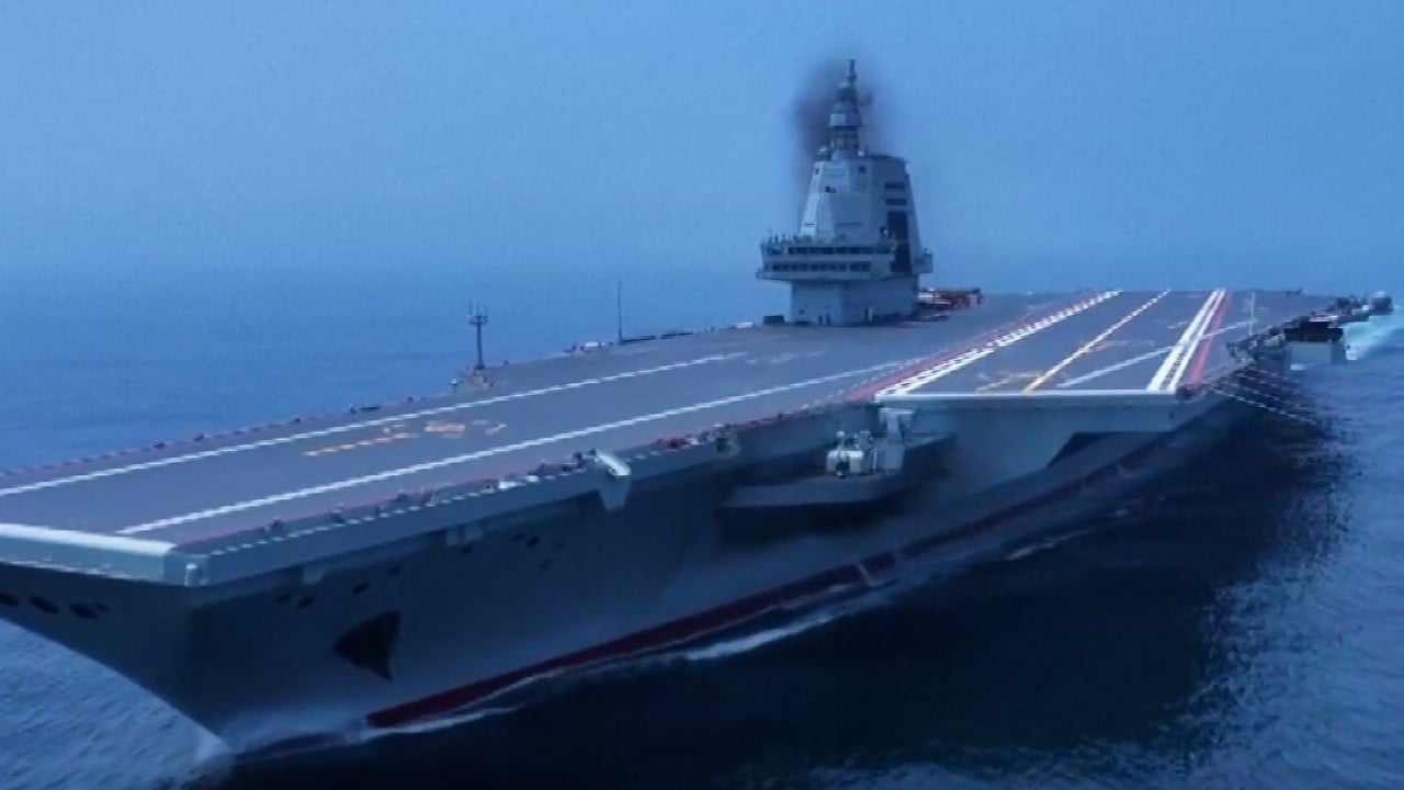
Chinese naval scientists have unveiled a method to identify and track US warships around the globe using low quality satellite images that are free and available to anyone.
The satellite photos potentially have a resolution of tens, or even hundreds, of metres, meaning that a large ship may only occupy a single pixel, or even less, making it invisible to the naked eye.
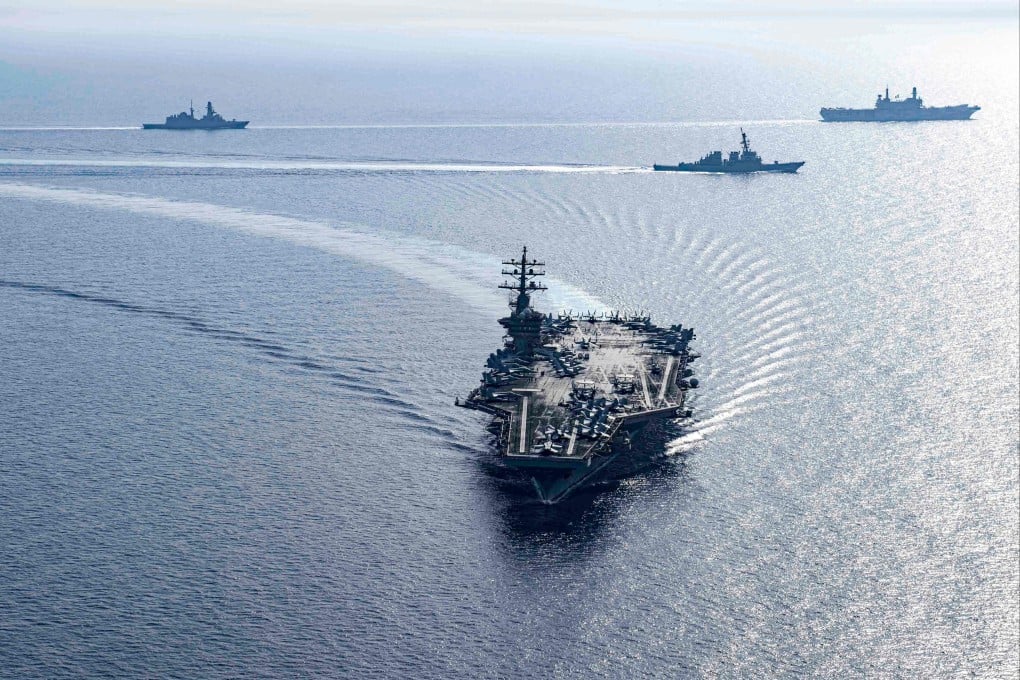
However, a team led by Hong Jun of the Dalian Naval Academy, said it had discovered a US Nimitz-class aircraft carrier, a Ticonderoga-class cruiser and an Arleigh Burke-class destroyer from these images.
Their method focuses on analysing the waves behind the ships, a simple technique that could be used by almost any country or organisation. Different ships create distinct wave patterns on the sea surface, similar to fingerprints.
However, they said accurately identifying specific US warship models required the use of sensitive parameters.
