Chinese smart satellite tracks US aircraft carrier in real time, researchers say
- AI-powered eye in the sky could identify a wide range of tactical or strategic targets, developers say
- Previously, a huge amount of raw satellite data had to be analysed on the ground

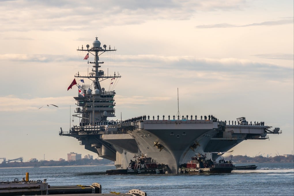
When USS Harry S. Truman was heading to a strait transit drill off the coast of Long Island in New York on June 17 last year, a Chinese remote sensing satellite powered by the latest artificial intelligence technology automatically detected the Nimitz-class aircraft carrier and alerted Beijing with the precise coordinates, according to a new study by Chinese space scientists.
The live-fire exercise that day involved a joint action of seven warships and many planes to simulate a fight against a powerful enemy while passing a narrow passage of water.
The fleet tested numerous tactics such as changing formation and making emergency manoeuvres to deter enemy submarines and other threats, according to the US Navy.
In the past, the Chinese military had to collect and analyse a huge amount of raw satellite data on the ground to get a clue on the details of such drills taking place in the US home waters, and the results usually came after the event was over.
But with AI-powered satellites, Beijing could detect and “live stream” military activities or assets of interest on the other side of the planet, according to space scientist Yang Fang and her colleagues with DFH Satellite in Beijing in a paper published in domestic peer-reviewed journal Spacecraft Engineering last month.
The satellite that caught the US aircraft carrier in the act was so smart, it could identify a wide range of tactical or strategic targets by analysing more than 200 frames of high-definition images per second, a speed that some ground-based computers would struggle to achieve, according to the Chinese team.