How Google is helping fight climate change, illegal logging, flooding in Africa and a lot more with a service you haven’t heard of
- Google Earth Engine offers its trove of satellite imagery and analysis tools for free, helping groups around the world monitor changes in the environment

To solve these problems, all three groups rely on a little-known arm of Google that works closely with environmental advocates around the world.
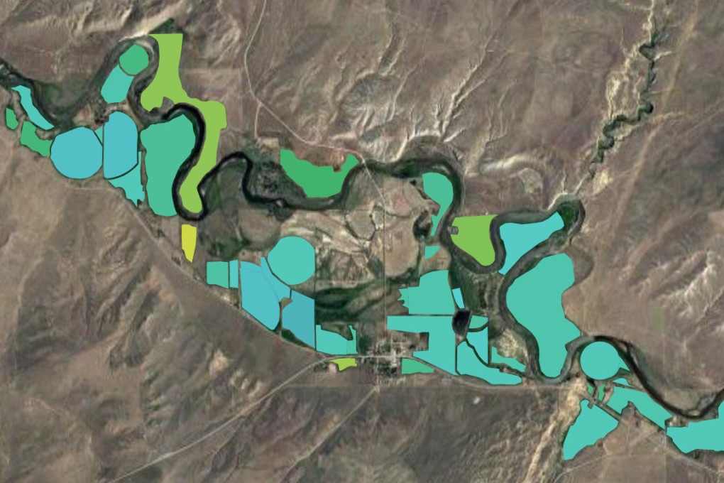
Google Earth Engine has created a vast trove of open-source satellite imagery and augmented it with data-analysis software that makes it relatively easy for skilled outsiders to draw up their own interactive maps. More important, its team of staff scientists (Google won’t say how many) wrangles massive data sets to answer critical questions for a constellation of pro bono “clients” that includes conservation groups, city agencies, community advocates and researchers.
The 20,000 image files added to the Earth Engine team’s collection each day are more than just static photos. Satellites gather, for example, detailed information on the soil composition more than a foot underground and the amount of water vapour rising from farmland.
Staffers help clients distil relevant information and relay it to the field. Via radio, the nomads in Senegal learn where to find a drink for their cows; bright pink dots on interactive maps inform the indigenous Peruvians of the locations of logging activity; and a shared website targets the spots in LA where trees will likely do the most good.
“The raw data is not enough. Government officials now tell us, ‘We’re drowning in data, but we’re thirsty for insights,’” says Rebecca Moore, who runs the team. “We invented Google Earth Engine to allow scientists to easily analyse data and ask questions about how the climate is changing and answer in seconds or minutes instead of years.”