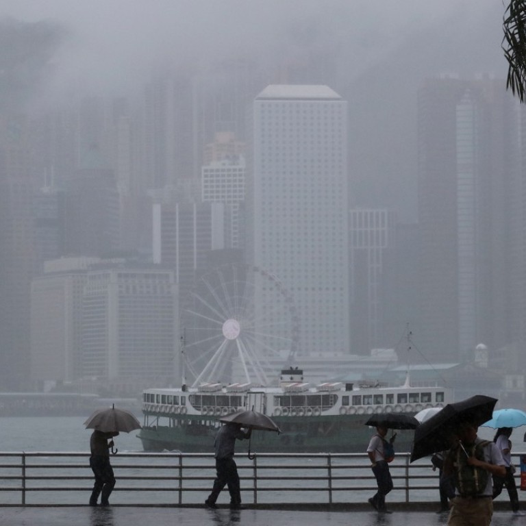
Typhoon standby signal on the cards as tropical depression nears Hong Kong
Weather system about 500km north-northeast of Manila, forecast to make its way into South China Sea
A tropical depression moved within striking distance of Hong Kong on Monday, raising the likelihood of a standby typhoon signal that evening or on Tuesday morning.
The Observatory said an area of low pressure near Luzon, the Philippines, had intensified into a tropical depression on Monday afternoon.
The depression was expected to move quickly across the northern part of the South China Sea, towards the western part of Guangdong province and Hainan Island on Tuesday.
“According to the present forecast track, local winds will strengthen gradually later tomorrow and there will be swells,” the Observatory said on Monday. “Members of the public should be on the alert.”
Forecasts by the Observatory showed that the weather system was expected to come within 400km of Hong Kong by Tuesday afternoon.
At 4pm on Monday, it was centred about 520km north-northeast of Manila, and was forecast to move west at about 38km/h across the Luzon Strait and enter the South China Sea.
The weather on Tuesday was expected to be mainly cloudy with sunny intervals, and isolated showers which would become more frequent later. There would be showers on Wednesday and winds would moderate later. There would be sunny intervals and a few showers in the following couple of days.

