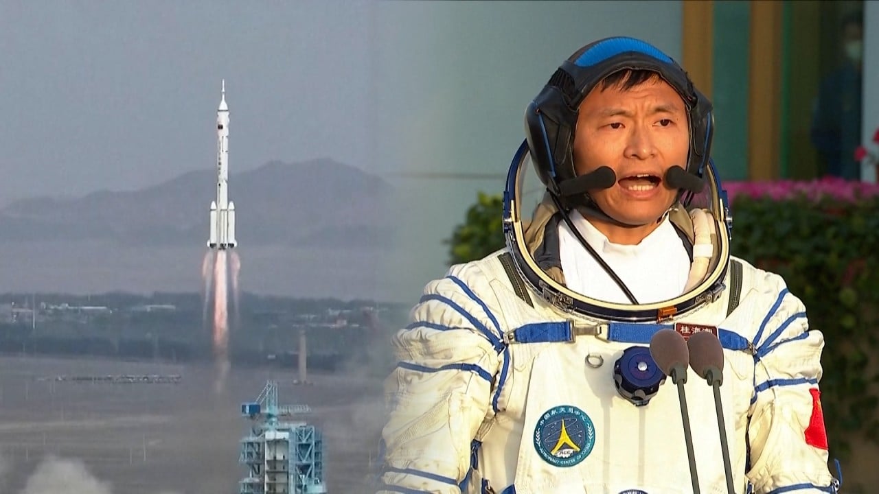
Latest China satellite Ludi Tance to survey one-third of Earth in high-orbit breakthrough
- World’s first synthetic aperture radar satellite to operate outside low-Earth orbit will watch for earthquakes, disasters
- The Ludi Tance 4-01’s ‘all-day, all-weather’ observations will cover China and surrounding Asia-Pacific region
The satellite is expected to climb to an exceptionally high orbit of about 36,000km (22,370 miles) where it will continuously monitor the Asia-Pacific region at a resolution of about 20 metres (65 feet).
CASC said the Ludi Tance – which translates as Land Exploration – satellite would provide “all-day, all-weather observation of China and surrounding areas” to monitor earthquake activity and boost disaster prevention and relief.
The satellite would also be used to answer the application needs of sectors such as oceanography, meteorology, agriculture, and forestry, the developer said.
China’s ASO-S satellite lifts off for closer look at the sun’s eruptions
Unlike optical remote sensing satellites which work in the visible and near-infrared wavebands, SAR satellites use microwave signals to create images by sending energy pulses towards Earth and measuring how long they take to return.
Because they can penetrate clouds, fog and darkness to collect images day and night, SAR satellites are used in low-Earth orbit by a number of countries to monitor earthquakes, flooding, deforestation, oil spills, as well as for military surveillance.
In early 2022, China sent a pair of Ludi Tance 1-01 satellites to an orbit of about 600km – well within the low-Earth orbit limit of 2,000km – to monitor landslides, earthquakes and other geological phenomena.
Each weighed about 3.2 tonnes and was equipped with an advanced SAR payload, for a total antenna area of 33 square metres (355 sq ft), operating in the L-band, where signals have a wavelength of about 23cm (9 inches).
The launch of the latest satellite is in line with China’s 2015-25 medium and long-term development plan for civilian space infrastructure, which lists the Ludi Tance satellite series and high-orbit SAR technology.
According to the plan, China also intends to build high and medium-resolution optical and SAR constellations for land, marine and atmospheric monitoring.
In move to rival Elon Musk’s Starlink, China tests new solar wing tech in space
CASC said the Ludi Tance 4-01 – the first high-orbit satellite of its kind to reach implementation phase – also worked in the L-band, giving greater penetration in forest areas for more interactions between the radar signal and large branches and trunks of trees.
Stephen Hobbs, a professor in space systems and sensors from Cranfield University in England, said the satellite’s 20 metre (65 feet) spatial resolution “is actually quite good for geosynchronous radar”.
“It should be able to observe subtle, millimetre-level ground motions due to landslides and earthquakes, which is a powerful measurement capability,” he said.
According to Hobbs, a disadvantage of such a high orbit is that the signal is weakened by the distance travelled, making it difficult to resolve features to better than a few tens of metres.
“The main advantage of the geosynchronous orbit is the permanent view of Earth over continental scales – about 30 per cent of the Earth’s surface – so that rapid repeat viewing of a particular area with a single satellite is possible,” he said.
A major challenge in developing geosynchronous SAR satellites is the long range, which results in weak signals. Hobbs said high transmitter power, large antennas, and relatively long signal integration times were needed to compensate for this.
“Each of these is a technical challenge, and can make these missions more expensive or less effective.”
While few details were released about the satellite’s configuration, Hobbs said the device was likely to have a 20 metre-wide circular, deployable antenna – much larger than the ones used on Ludi Tance 1-01A and 1-01B.
Beijing fills satellite gaps for close eye on disputed South China Sea
Hobbs said the Ludi Tance 4-01 might also be equipped with 10-20 square metres of solar arrays to generate several kilowatts of power, as radar satellites usually required high electrical power.
Hobbs, who collaborated with scientists from the Beijing Institute of Technology to develop the concept of a geosynchronous radar, said some early studies were done in the US, but there had been little work published there on the technology since 2005.
He is leading a team of European scientists to design a mission, known as Hydroterra, which will use a geosynchronous SAR satellite to produce the first continuous images of rapid weather and land surface changes over Europe and Africa.
The Hydroterra concept will be proposed as a candidate for the European Space Agency’s 12th Earth Explorer mission to understand the planet’s systems.
It will be competing against 20 or so other missions and if successful could be in orbit in the 2030s – at least a decade after the Chinese mission, according to Hobbs.


