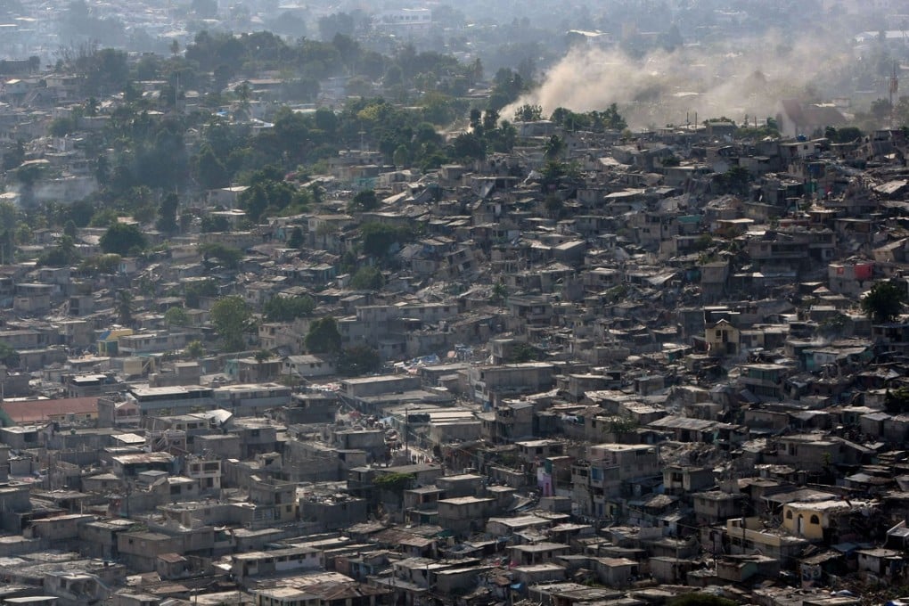
Uncharted territory: mapping the world’s forgotten cities
A ‘human genome project for cities’ is digitally mapping the developing world’s vulnerable urban areas to help NGOs and governments better respond to crisis, writes Chris Michael

In 2010, an earthquake struck Haiti. Hundreds of thousands were killed. Then things got really bad. Cholera broke out, and Ivan Gayton, of Medecins Sans Frontieres (MSF), received a call from a nun in a remote village in the middle of the Haitian forest.
“Please help,” she said. “We’ve been hit with a horrible disease we’ve never seen before.”
Gayton sent a few trucks of MSF staff to try to track down the nun in Baraderes, but they had only the sketchiest of maps. With every village they reached, they thought, “This must be it – they’re dropping like flies here.” But it wasn’t. They left behind equipment and staff, and kept driving. The road ran out. They took a boat up the coast. Eventually, they arrived at a dock, “piled with corpses like firewood”, Gayton says.
This was the nun’s village. The MSF staff did what they could. Over the next few days more than 600 deathly ill people arrived. MSF saved most of them; nearly half would likely otherwise have died.
Across Haiti only 0.9 per cent of the people treated in MSF clinics succumbed to cholera, compared with the 40 per cent mortality rate for untreated cases across the country; the charity spent US$100 million and saved countless lives. Thousands of Haitians died anyway.

Gayton likens the process of choosing where to establish clinics to making “war triage” decisions.