How to get away from it all on Hong Kong’s longest country trail
Head to Lantau’s southeast to tackle the 18.5 km Chi Ma Wan Country Trail for secluded bays, sweeping panoramas and scattered hamlets along deserted paths

If you’re heading to Lantau Island for a wild outing, the chances are you’ll be bound for the central hills – to climb either Sunset or Lantau peak, or both – or aiming to stride along nearby stretches of the Lantau Trail. But to the island’s southeast, there’s another area that’s easily overlooked, yet can make for a fine day outing: the Chi Ma Wan (Sesame Bay) Peninsula.
The landscape is fashioned from a mass of granite, forming a hilly interior and coastal headlands between small bays. The few residents of the peninsula live in scattered hamlets and a would-be upscale housing development. A narrow road runs across the north of the peninsula, forking to a ferry pier and smaller roads linking two disused prisons.

Hamlets and buffalo fields
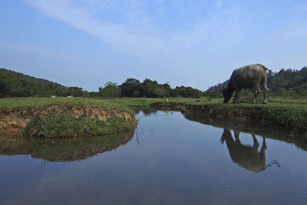
If you’ve never been to this part of Lantau before, it’s well worth stopping off at Shap Long, an area of hamlets facing Chi Ma Wan. Abandoned fields have become a grassy space where water buffalo graze. The area is marred by ugly new development of “small houses” at the top of the old fields but elsewhere is rural, typically tranquil, with a hodgepodge of somewhat ramshackle buildings among trees and shrubs by the mouth of a tidal creek.

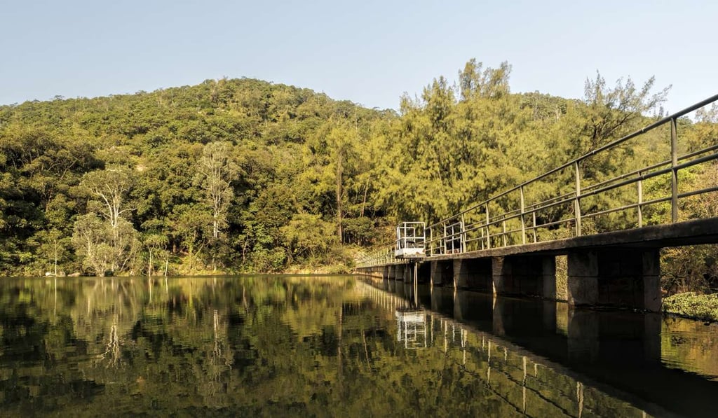
Above the coastline south of Shap Long, there’s a small reservoir nestled in the hills. You could reach it via the road passing the deserted prisons and their staff quarters, or will pass by if you walk the country trail. It’s small, perhaps only a couple of hundred metres long, and is splendidly secluded, with dense woodland fringing the shores. The sturdy dam is about four or five storeys high and was evidently built to help nearby villagers when they were still farmers, as a map gives the name Shap Long Irrigation Reservoir.